Protecting Crescent Lake
Protecting Crescent Lake since 2008 in the towns of Casco and Raymond, Maine
How We Protect Our Lake
Resources
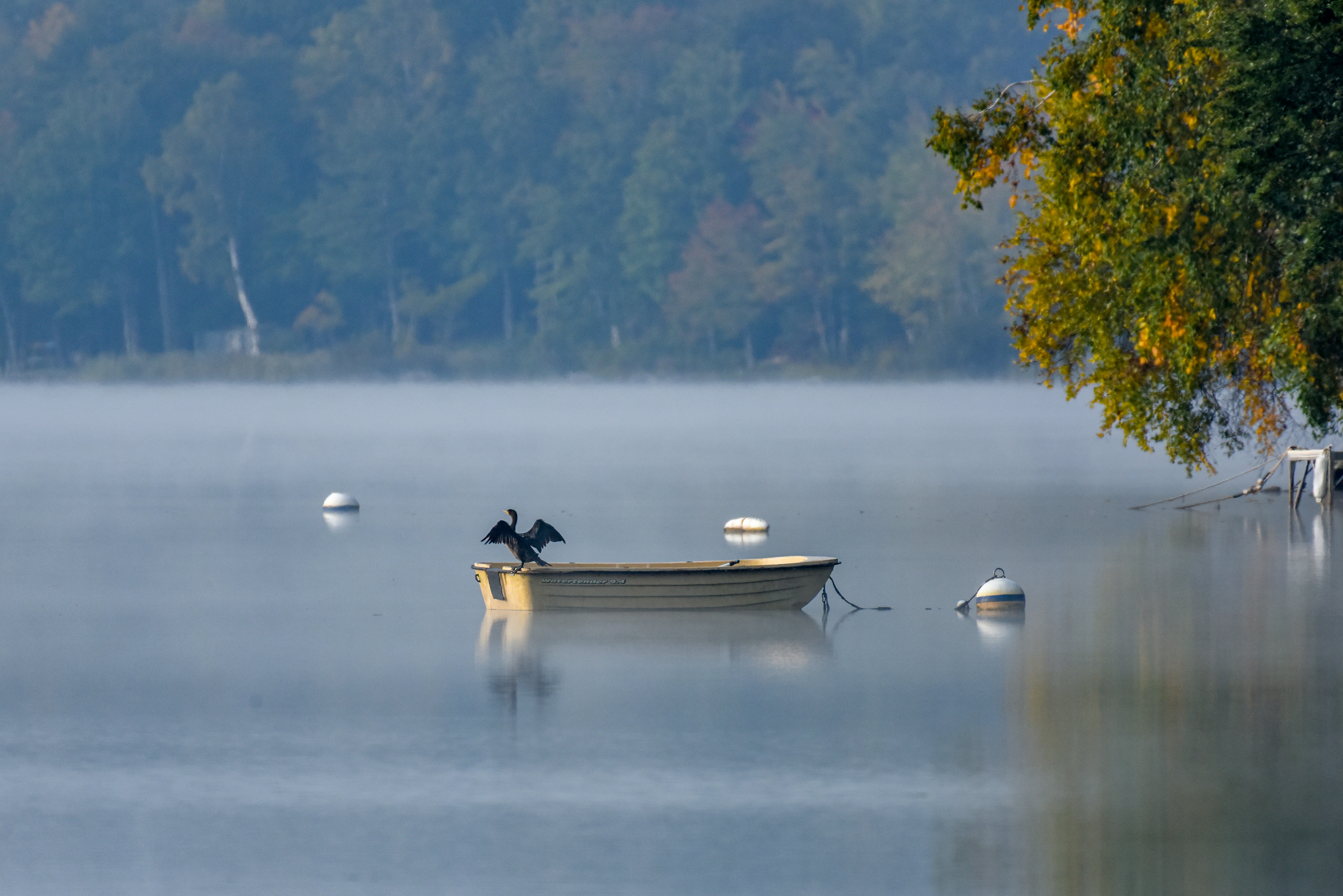
Lakes are an integral part of our landscape, covering more than a million acres of our state! Maine lakes provide immensely valuable habitat for fish and wildlife, numerous recreational opportunities for people, and drinking water for nearly one-third of our population. Many communities are defined in large measure by their lakes. People relate to lakes in a way that is profoundly important to them and their families.
Habitat and water quality of lakes are vital to both state and local economies. Lakes generate 3.5 billion dollars for Maine’s economy annually, including 52,000 Maine jobs. Tax revenues from shoreline properties are significant in many communities, thus deterioration of a lake can result in serious change to local economies. Restoration of a degraded lake is extremely expensive and is never as effective as protection. Invasive species are the most recently identified threat to Maine lakes and can alter human and wildlife use of a lake permanently.” Maine Department of Environmental Protection.
Here are a few resources to assist us in protecting our water quality.
Visit our friends at Lakes Environmental Association and Lake Stewards of Maine.
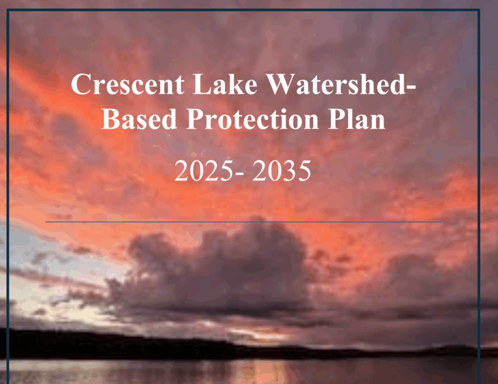
Watershed Based Protection Plan 2025-2035 Approved!
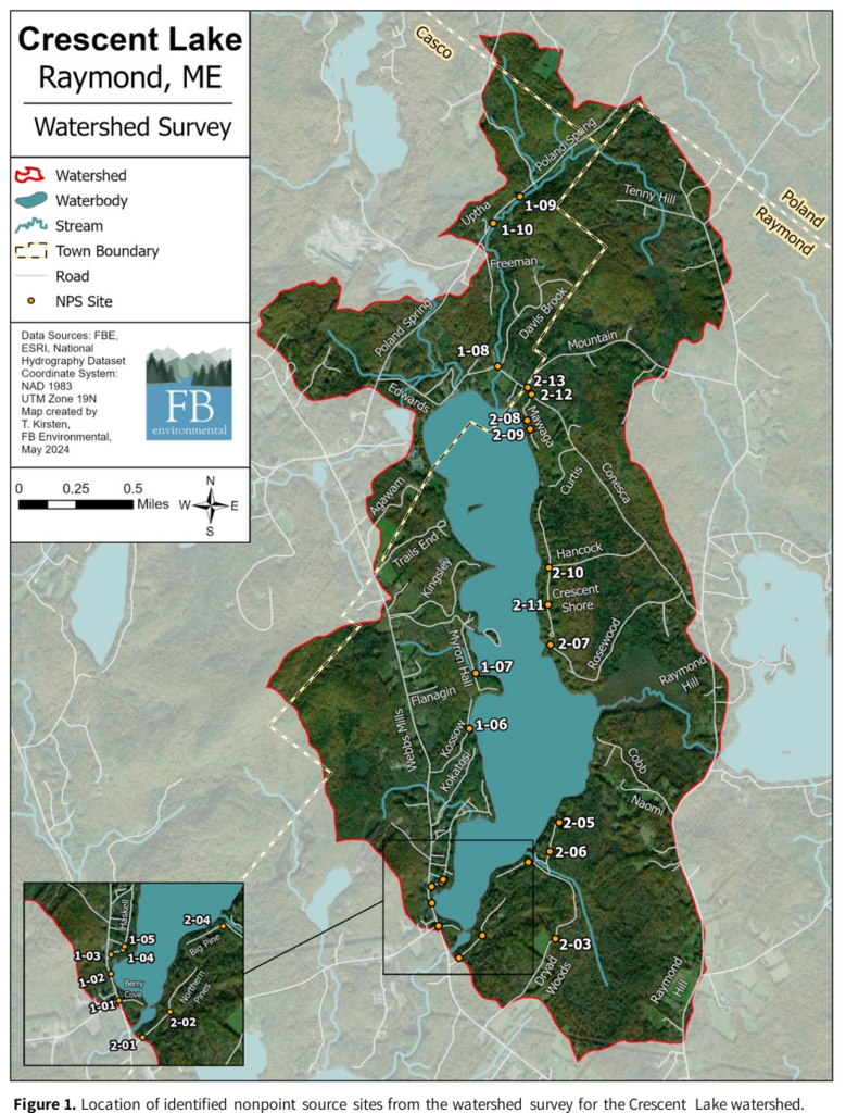
In September of 2024, the Crescent Lake Watershed survey was officially approved by the Maine Department of Environmental Protection (DEP). CLWA partnered with Maine DEP to develop a comprehensive 10-year Crescent Lake Watershed-Based Protection Plan. This plan outlines a strategy and schedule for reducing Nonpoint Source (NPS) pollution and protecting water quality in the watershed from 2025-2035.
We are proud to announce that the plan was officially approved by the U.S. Environmental Protection Agency (EPA) in March of 2025!
Click picture to read the full report.
Why is this a Big Deal?
EPA approval opens the door for CLWA to apply for Clean Water Act Section 319 grants – federal funding that supports efforts to reduce pollution like stormwater run-off and erosion. CLWA has partnered with the Cumberland County Soil and Water Conservation District (CCSWCD) to help write grant applications.
These grants help fund:
- Technical and financial assistance
- Education Outreach and community worshops
- Demonstration Projects
- Long-term pollution reduction tools and training
See CLWA Spring Newsletter or more information.
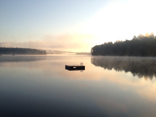
First Annual Water Quality Report
Raymond Waterways created this report for Raymond residents and visitors who want to understand the health of our lakes and ponds and learn what they can do to protect this most important natural resource.
A dedicated group of volunteers, supported by the lake associations, collect a variety of data relevant to lake health, some of which we present in this report. These individuals are your neighbors, and you may have seen them out on your lake peering into the water or lowering instruments to the deepest spots. As a team, they are committed to taking your lake’s vital signs as many as 10 times each season.
This report brings the findings of our volunteers to the Raymond public in a way that we hope will make it easy to understand what we know about lake health and the human factors that influence it now and in the future. We expect to make this an annual tradition to promote communication among lake associations and encourage all residents and visitors to be good stewards of Raymond’s waters.